The Prunty Mine is located on patented mining claims in the Charleston Mining District of northern Elko County, Nevada. The property includes the Prunty Mine and Slattery vein workings, with the Black Warrior Mine nearby. Humboldt Mining Company is advancing a phased program of portal access, selective excavation, sampling, metallurgical evaluation, and ore marketing.
| Operator | Humboldt Mining Company, LLC |
| Project | Prunty Mine |
| District | Charleston Mining District |
| County · State | Elko County, Nevada |
| Land Tenure | Patented mining claims (Virginia and Vanity Fair) within a broader claim group |
| Commodities | Gold, silver (historic copper, antimony) |
| MSHA Mine ID | 26-01261 |
| NDEP Water Pollution Control Permit | NEV2011104 |
| Historical Production | Small intermittent production since 1905 |
| Current Stage | Sampling, portal evaluation, selective excavation, ore marketing |
The Charleston Mining District covers the mountainous portion of northern Elko County between Jarbidge and Charleston. Placer gold was discovered on Seventy-Six Creek in 1876. The Prunty, Slattery, and Black Warrior lode deposits on the south and east flanks of the Copper Mountains were discovered and worked in the early 1900s.
The oldest units in the project area are Late Proterozoic to Cambrian quartzite, siltstone, conglomerate, limestone, dolomite, and phyllite, overlain by Paleozoic sediments of the Golconda Terrane and intruded by Jurassic intrusives accompanied by late-stage quartz veining. A 2011 ground magnetic survey interpreted an intrusive at the Prunty Mine plunging southeast, and identified an associated structural trend that controls much of the district's mineralization.
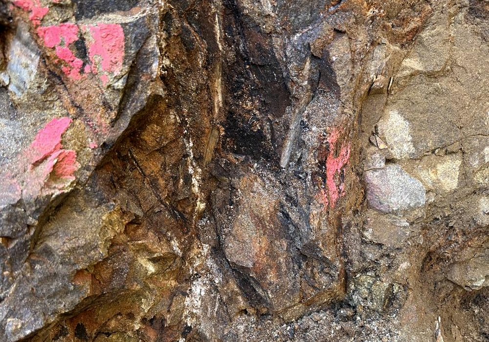
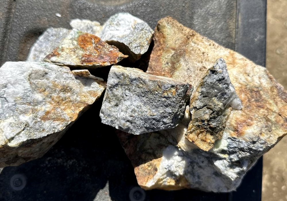
Historical reports describe the Prunty vein as emplaced in a contact zone between an intrusive dike and slates. Primary sulfides include stibnite, arsenopyrite, pyrite, tetrahedrite, chalcopyrite, galena, sphalerite, and chalcocite hosted in quartz and calcite, indicating higher-temperature mineralizing fluids than typical for Nevada gold deposits.
Vein widths in observed workings range on the order of 20 to 50 centimeters, with locally wider mineralized zones. Detailed vein and structural information is available to qualified parties under confidentiality.
Placer gold discovered on Seventy-Six Creek; the district is organized.
Prunty Mine worked intermittently. Ore treated in a hydraulic five-stamp mill. Small intermittent production of gold, silver, copper, and antimony.
Contract miner drove several hundred feet of additional workings.
Remington and Tenneco drilling on the broader claim group. Multiple intercepts of anomalous gold reported in historic records.
Humboldt Mining diamond core program near the Black Warrior Mine.
Ground magnetic survey and historical NI 43-101 technical report (now out of date for current reporting purposes).
Underground mapping, 3D vein and drift modeling, channel sampling, and metallurgical testing on selected samples.
NDEP-BMRR compliance inspection — no items of concern.
Active portal work, surface vein exposure, independent assay verification, and ore-marketing pathway.